
By walking we can reconnect to a forgotten dimension of our daily living; only on foot can we truly appreciate a territory in its depth. A walk is a like creating a piece of art. Here are some of our suggestions for discovering the Valdambra
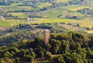
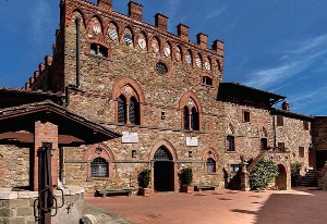
We climb uphill to reach Guardingo just outside Montevarchi, and continue between arable land and vineyards, first reaching Case Pianacci, then the village of Tontenano. We are close to San Leolino. Shortly after the village, at poggio del Fattore, we turn right to the right and reach the restored Galatrona Tower, the highest peak of the day, which we recommend to visit during the opening hours. We then descend to Mercatale Valdarno, in a wood of oak and maple trees and, after crossing the village, we head towards Loccano and we go back to the Ginestra, always on the white road.
Difficulty: high
Lenght: 20 km
Map of the itinerary
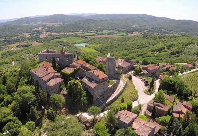
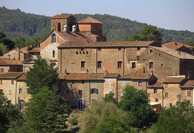
Departure from the village of Cennina. Take the C.A.I. path n.45 and walk until the little village of Solata up quite a steep stretch of pathway. Continue along C.A.I. path n.47 pass the old, abandoned farmsteads of Vergaia, Monte di Rota, Monte della Via and Poggialto along the ancient ridge road. A little brick church dedicated to St. Francis marks the final part of the walk and the entrance into Montebenichi.
Difficulty: medium
Lenght :8 km
Map of the itinerary
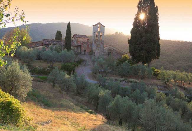
Departure from the village of Rapale. Take C.A.I. path n.117, a relaxing walk through olive groves and fields. On arrival at the village of Sogna you can decide whether or not to continue to Badia a Ruoti along C.A.I. path n.125.
Difficulty: easy
Lenght: 4 km
Map of the itinerary
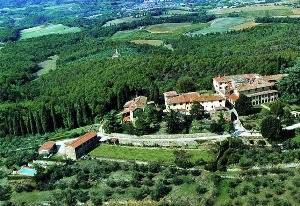
Departure from Pogi. Take C.A.I. path n.127A which runs along the cart track to Iesolana. Before reaching Iesolana the path turns right, but continue straight on along the road to Iesolana. At Iesolana continue along the cart track as far as Montozzi.
Difficulty: easy
Lenght: 3 km
Map of the itinerary